Aerial Video
Aerial Photography & Aerial Videography
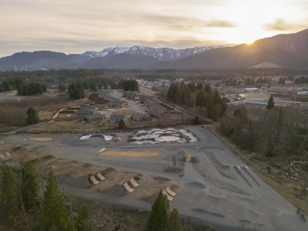
As part of my comprehensive photography services I am now able to offer low elevation aerial photography and aerial video for weddings, commercial work and independent films. We have complete control of the camera while it is in flight allowing for 360 degree panning and 150 degrees of tilt for completely novel and creative perspectives.
For more information on aerial videography and recent aerial videos please visit this page: Aerial Videography or our new website Aerial Vista Productions.
Check out our brand new Aerial Demo Reel below!
Introduction
Aerial photography has been used since the first hot air balloons to give a new perspective to the objects and landscapes in our world. With the modernization of both aviation and camera technology, a new type of aerial photography was born. Remote Control aerial photography uses ordinary to advanced RC aircraft to carry a camera payload and obtain aerial pictures.
RC aerial photography can add a new perspective to images of large objects. by showing the large scale relation between different objects. Many engineering, mapping, and surveying projects depend on a clear understanding of the large scale properties of an area of land, making aerial photography the perfect tool for obtaining this information. Traditionally, aerial pictures were obtained by sending a human photographer on a flight in a full scale aircraft, usually either an airplane or helicopter. This is a time consuming, inconvenient, environmentally insensitive and expensive manner to capture this novel perspective.
RC aerial photography is a simple and cost effective solution. You can rapidly deploy and recover an RC aircraft, and get aerial pictures of equal to (and in many cases better) quality than those taken from a full scale aircraft. Conventional aircraft are limited by altitude regulations, so they can fly at a minimum of 500 feet above ground level. RC aircraft are free to maneuver at any altitude, giving you the freedom to decide which altitude is best for your aerial photographs.
The University of Victoria with Cadboro Bay and 10 Mile point in the background.
An aerial shot of the giant totem pole at Beacon Hill Park.


